US Department of Defense Terminates Critical Hurricane Satellite Data Feed, Impacting Forecasting Capabilities
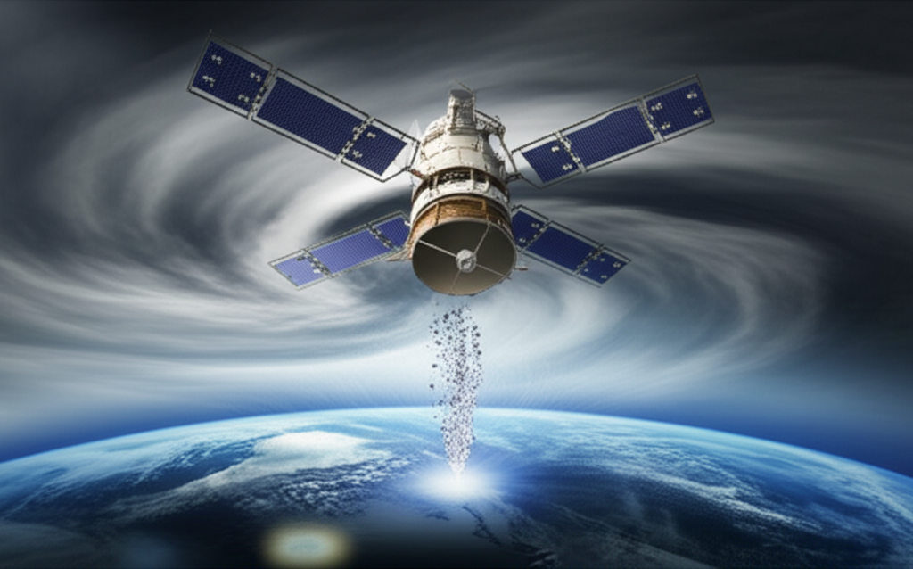
In a move that has sent ripples through the meteorological community, the US Department of Defense (DoD) is set to abruptly cease the transmission of vital satellite data used extensively for hurricane forecasting. The termination, announced via a notice from the US National Oceanic and Atmospheric Administration (NOAA), involves data streams from the long-serving Defense Meteorological Satellite Program (DMSP) satellites, specifically focusing on the output from the Special Sensor Microwave Imager Sounder (SSMIS) instrument.
The decision affects data collected by three operational DMSP satellites: F-16, F-17, and F-18. These satellites, part of a program that has spanned decades, have significantly exceeded their original design lives but have continued to provide valuable environmental data. A fourth satellite in the recent fleet, F-19, failed back in 2016. Now, the remaining trio's contribution to public weather forecasting is slated to end permanently by the close of June.
The precise reasons behind the DoD's sudden decision remain officially unstated, leading to speculation within the scientific and forecasting communities. The NOAA notice simply cited "recent service changes." Some observers have posited that the termination could be linked to evolving DoD security protocols or concerns regarding the aging infrastructure. Others have suggested it might reflect a broader political climate potentially less inclined to prioritize open access to climate-related data. Regardless of the underlying cause, the consequence is a substantial gap in the data available to scientists and forecasters tasked with predicting the path and intensity of hurricanes and other severe weather events.
The Critical Role of DMSP and SSMIS Data in Hurricane Forecasting
To understand the significance of this data cut-off, it's essential to appreciate the unique capabilities of the DMSP satellites and their SSMIS instrument. The DMSP program, initiated in the 1960s, was primarily designed to provide meteorological data for military operations, but its data has long been shared with civilian agencies like NOAA for public weather forecasting and climate monitoring. The satellites orbit the Earth in a near-polar, sun-synchronous path, providing global coverage twice daily.
The SSMIS is a passive microwave radiometer. Unlike visible or infrared satellite sensors, which primarily detect radiation from cloud tops or the Earth's surface, microwave sensors can penetrate most non-precipitating clouds. This ability is particularly crucial for observing the internal structure of weather systems, especially tropical cyclones.
Here's why SSMIS data is so valuable for hurricane forecasting:
- **Seeing Through Clouds:** Tropical cyclones are characterized by dense, multi-layered cloud shields that obscure the storm's core in visible and infrared imagery. Microwave data allows forecasters to peer beneath these cloud tops to see the storm's rainbands, eyewall, and circulation center.
- **Intensity Estimation:** Changes in the storm's inner structure, such as the formation or strengthening of the eyewall, are key indicators of intensification. SSMIS data provides detailed images of these features, helping forecasters assess the storm's current intensity and predict rapid changes.
- **Center Location:** Accurately locating the storm's center is vital for determining its track. Microwave imagery often provides the clearest view of the low-level circulation center, especially when the eye is obscured by clouds.
- **Precipitation and Moisture:** SSMIS measures microwave radiation emitted by atmospheric water vapor, cloud liquid water, and precipitation. This allows forecasters to map areas of heavy rainfall and understand the moisture distribution within and around the storm, which fuels convection and intensification.
- **Nighttime Observations:** Unlike visible imagery, which is unavailable at night, microwave data is available 24/7, providing continuous monitoring capabilities that are essential for tracking storms as they evolve around the clock.
Atmospheric scientists and hurricane specialists rely heavily on this type of data. As atmospheric scientist Matthew Cappucci noted, microwave satellite imagery is used constantly by forecasters to probe the inner structure of tropical cyclones, especially during nighttime hours when visible light is absent. This internal view is critical for understanding how a storm is evolving and whether it is undergoing rapid intensification, a phenomenon that poses a significant threat to coastal populations due to its sudden and often unpredictable nature.
The Impact of the Data Termination
The permanent termination of the DMSP SSMIS data feed creates an immediate and significant void in the suite of tools available to hurricane forecasters. While other satellites carry microwave instruments, the DMSP constellation provided frequent and reliable coverage that complemented data from other sources.
The loss means forecasters will have access to less microwave data overall, and the frequency of observations for any given storm will be reduced. This could translate into longer periods between scans, potentially causing forecasters to miss crucial developments in a storm's structure, particularly during periods of rapid change. For a storm undergoing rapid intensification, missing even a few hours of critical data can have serious implications for warnings and preparedness efforts.
Hurricane Specialist and Storm Surge Expert Michael Lowry highlighted this concern, stating that the immediate discontinuation of data from these three satellites will severely impact hurricane forecasts, not just for the upcoming season but beyond. The reduction in data frequency means forecasters may have to rely more heavily on less direct methods or wait longer for observations from other, potentially less optimally timed, satellite passes.
The DMSP satellites were, admittedly, operating well past their expected service lives. This highlights a broader challenge in maintaining consistent, high-quality environmental monitoring from space. Satellite programs require long-term planning, significant investment, and seamless transitions between generations of instruments to avoid data gaps.
Replacement Programs and Data Access Challenges
The US has been working on replacement systems for the aging DMSP fleet. The Weather System Follow-on Microwave (WSF-M) satellite is one such effort, designed to continue and enhance microwave data collection capabilities. The first WSF-M satellite was launched in 2024.
However, the launch of a satellite does not automatically mean its data is immediately available and integrated into operational forecasting workflows. New instruments require calibration, validation, and the establishment of data processing and distribution pipelines. According to reports, data from the WSF-M satellite is not currently available to civilian forecasters, and there is uncertainty about when, or even if, this access will be granted.
This situation underscores a recurring tension between the primary mission of military satellite programs (like DMSP and WSF-M) and the needs of civilian agencies and the public for open, timely environmental data. While the DoD has its own requirements, the data collected by these satellites has become indispensable for civilian weather forecasting, climate monitoring, and disaster preparedness.
The lack of a clear, immediate plan to replace the DMSP SSMIS data stream with an equivalent, accessible source from WSF-M or other platforms is a major point of concern. It suggests a potential disconnect between defense planning and the critical public safety functions that rely on this data.
Broader Implications: Data Availability and Public Safety
The DMSP data termination is more than just a technical issue for meteorologists; it has direct implications for public safety. Accurate hurricane forecasts are essential for timely warnings, effective evacuations, and disaster response planning. Reduced accuracy or increased uncertainty in forecasts, particularly regarding rapid intensification, can put lives and property at greater risk.
The incident also raises questions about the future of government-collected environmental data. In an era of increasing climate variability and more frequent extreme weather events, access to robust, continuous streams of satellite data is becoming ever more critical. Decisions to restrict or terminate access to such data, especially without a clear and accessible replacement, can undermine scientific research, hinder climate monitoring efforts, and ultimately compromise public preparedness.
The DMSP satellites, despite their age, represented a legacy of data sharing between military and civilian sectors that significantly benefited public welfare. Their retirement was inevitable, but the abrupt termination of data access without a ready civilian-accessible alternative from newer systems like WSF-M highlights potential vulnerabilities in the nation's environmental monitoring infrastructure and data policy.
The meteorological community is now faced with the challenge of adapting to this data loss. Forecasters will need to rely more heavily on other available data sources, which may not provide the same level of detail or frequency of observation for tropical cyclone inner structure. This could necessitate adjustments in forecasting techniques and potentially lead to increased uncertainty in intensity predictions.
Conclusion
The US Department of Defense's decision to permanently terminate the feed of critical hurricane forecasting data from its DMSP satellites, particularly the SSMIS microwave data, marks a significant setback for weather prediction capabilities. This data, vital for peering into the core of tropical cyclones and assessing their intensity, will no longer be readily available to civilian forecasters.
While the aging satellites were operating beyond their expected lifespan, the lack of an immediate, accessible replacement from newer systems like WSF-M creates a concerning data gap. The reasons for the abrupt termination remain unclear, fueling speculation about security concerns or shifts in data sharing policy.
Ultimately, the loss of this data stream impacts not only scientific research but also the ability of forecasters to provide the most accurate and timely warnings for hurricanes, potentially putting coastal communities at greater risk. The incident underscores the critical need for robust, sustained investment in environmental satellite programs and clear policies ensuring the availability of essential data for public safety and scientific understanding.